
File:Ukraine under russian occupation grey.svg

Dimensioni di questa anteprima PNG per questo file SVG: 800 × 538 pixel. Altre risoluzioni: 320 × 215 pixel | 640 × 430 pixel | 1 024 × 688 pixel | 1 280 × 860 pixel | 2 560 × 1 720 pixel | 3 780 × 2 540 pixel.
File originale (file in formato SVG, dimensioni nominali 3 780 × 2 540 pixel, dimensione del file: 1,8 MB)
| Questo file e la sua pagina di descrizione (discussione · modifica) si trovano su Wikimedia Commons (?) |
Dettagli
| Descrizione |
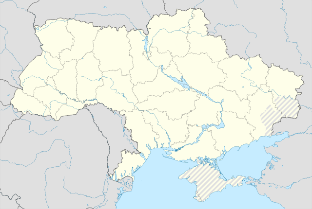
English: Location map of Ukraine under Russian occupation.
Українська: Карта України з зонами російської окупації. |
| Data | |
| Fonte |
Opera propria usando: Ukraine adm location map improved.svg, according to
|
| Autore | Yakiv Gluck |
| Altre versioni |
|
| SVG sviluppo | Questa mappa in grafica vettoriale è stata creata con Adobe Illustrator. |


Licenza
Io, detentore del copyright su quest'opera, dichiaro di pubblicarla con la seguente licenza:
Questo file è disponibile in base alla licenza Creative Commons Attribuzione-Condividi allo stesso modo 4.0 Internazionale
- Tu sei libero:
- di condividere – di copiare, distribuire e trasmettere quest'opera
- di modificare – di adattare l'opera
- Alle seguenti condizioni:
- attribuzione – Devi fornire i crediti appropriati, un collegamento alla licenza e indicare se sono state apportate modifiche. Puoi farlo in qualsiasi modo ragionevole, ma non in alcun modo che suggerisca che il licenziante approvi te o il tuo uso.
- condividi allo stesso modo – Se remixi, trasformi o sviluppi il materiale, devi distribuire i tuoi contributi in base alla stessa licenza o compatibile all'originale.
Cronologia del file
Fare clic su un gruppo data/ora per vedere il file come si presentava nel momento indicato.
| Data/Ora | Miniatura | Dimensioni | Utente | Commento | |
|---|---|---|---|---|---|
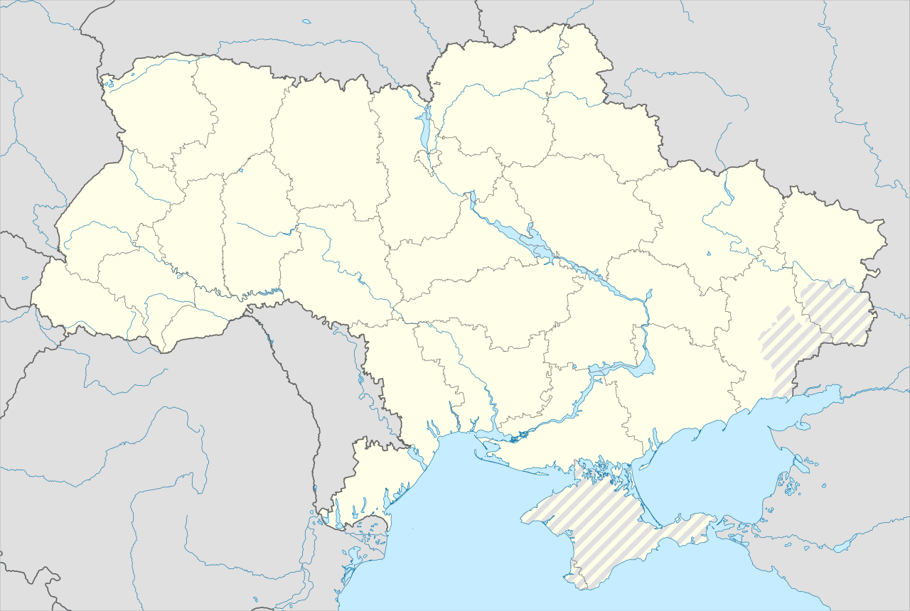
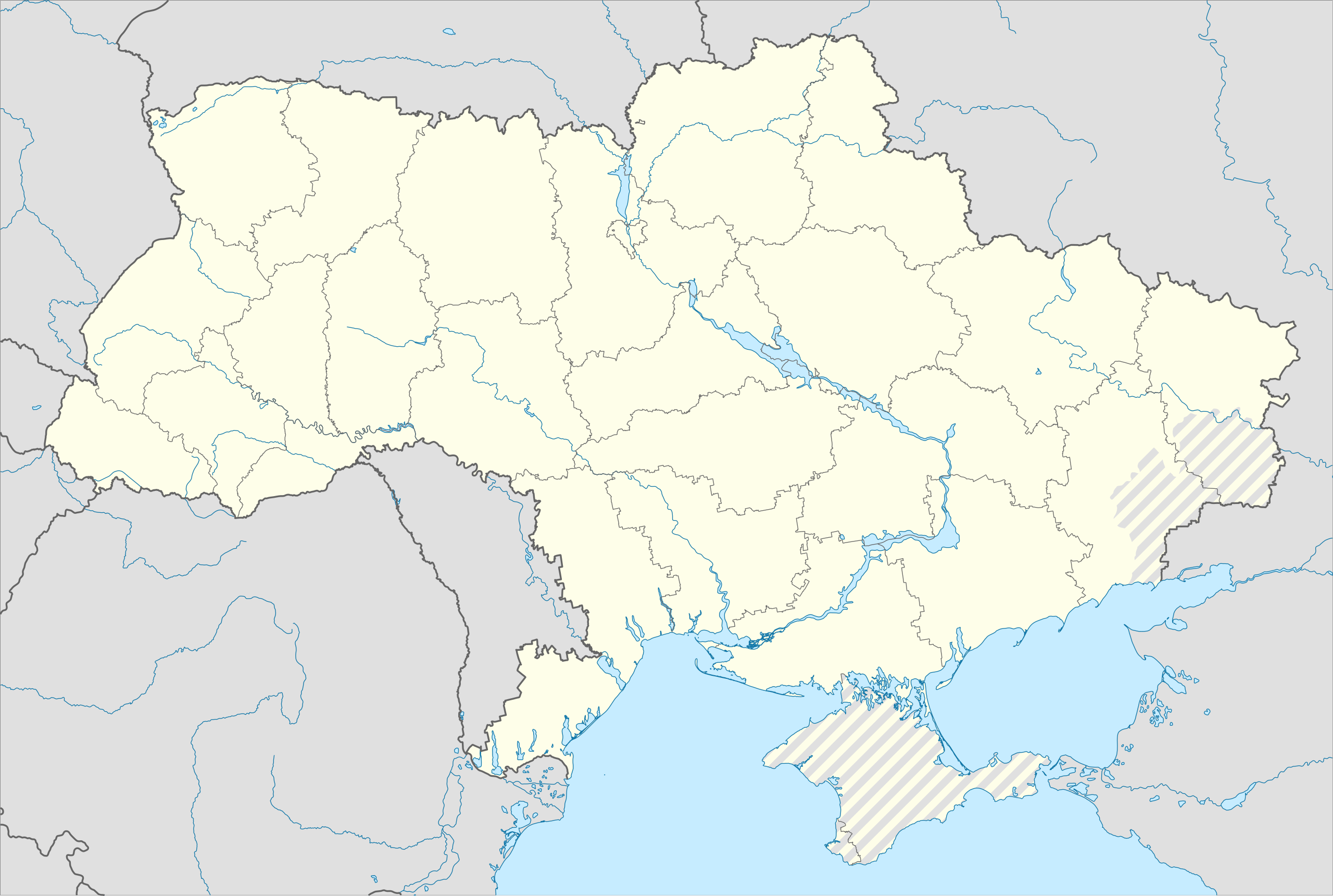
| attuale | 08:53, 19 giu 2023 | | 3 780 × 2 540 (1,8 MB) | Physeters | Reverted to version as of 02:11, 12 May 2023 (UTC) revert removed my detail improvements in the Dnieper delta and is no longer accurate |
| 23:48, 18 giu 2023 |  | 3 780 × 2 540 (1,54 MB) | Yeagvr | Reverted to version as of 17:23, 3 October 2022 (UTC) | |
| 04:11, 12 mag 2023 |  | 3 780 × 2 540 (1,8 MB) | Physeters | add improved tracing of the Dnieper Delta | |
| 03:30, 4 ott 2022 |  | 3 780 × 2 540 (1,36 MB) | Tol | Reverted to version as of 17:17, 3 March 2018 (UTC): this substantially changes a file that was not expected to be updated, this file is intentionally different from File:Ukraine under russian occupation.svg | |
| 19:23, 3 ott 2022 |  | 3 780 × 2 540 (1,54 MB) | Janitoalevic | Updated. | |
| 19:17, 3 mar 2018 |  | 3 780 × 2 540 (1,36 MB) | Yakiv Gluck | improved using new adm loc map | |
| 03:36, 27 gen 2018 |  | 1 546 × 1 038 (457 KB) | Yakiv Gluck | {{Information |Description ={{en|Location map of Ukraine under russian occupation.}} {{uk|Карта України з зонами російської окупації.}} |Source =own work, using [[:F... |
Utilizzo del file
Nessuna pagina utilizza questo file.
Utilizzo globale del file
Anche i seguenti wiki usano questo file:
- Usato nelle seguenti pagine di bcl.wikipedia.org:
- Usato nelle seguenti pagine di bn.wikipedia.org:
- Usato nelle seguenti pagine di en.wikipedia.org:
- Chernobyl
- Geography of Ukraine
- Poltava
- Kerch
- Sevastopol
- Tarashcha
- Yalta
- Nestor Makhno
- Sverdlovsk, Ukraine
- Chernivtsi
- Kaniv
- Halych
- Pripyat
- Lutsk
- Drohobych
- Kovel
- Ivano-Frankivsk
- Kalush, Ukraine
- Volodymyr (city)
- Kortelisy
- Starobilsk
- Uzhhorod
- Chernihiv
- Sumy
- Staryi Ostropil
- Kyiv
- Kosivka, Odesa Oblast
- Kosiv
- Shpola
- Mukachevo
- Simferopol
- Irpin
- Khmelnytskyi
- Fastiv
- Boltysh crater
Visualizza l'utilizzo globale di questo file.